What is this about?
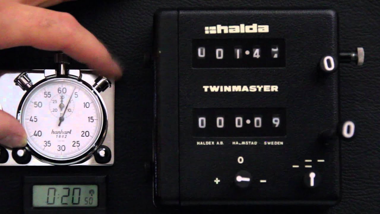
Rallyevous is a rally route app for the 21st century. When we started navigating across country in cars for fun, there were no GPS satellites, let alone calculators that could compute moving average speed. Gone are the days of mechanical calculators and Heuer stopwatches. Everyone carries around a device that can locate itself on the globe to an accuracy of 1 cm. Why are we still rallying the same way we did in the 1960's?
Beyond the technology, Rallyevous was created to solve some key issues with tours and spirited drives.
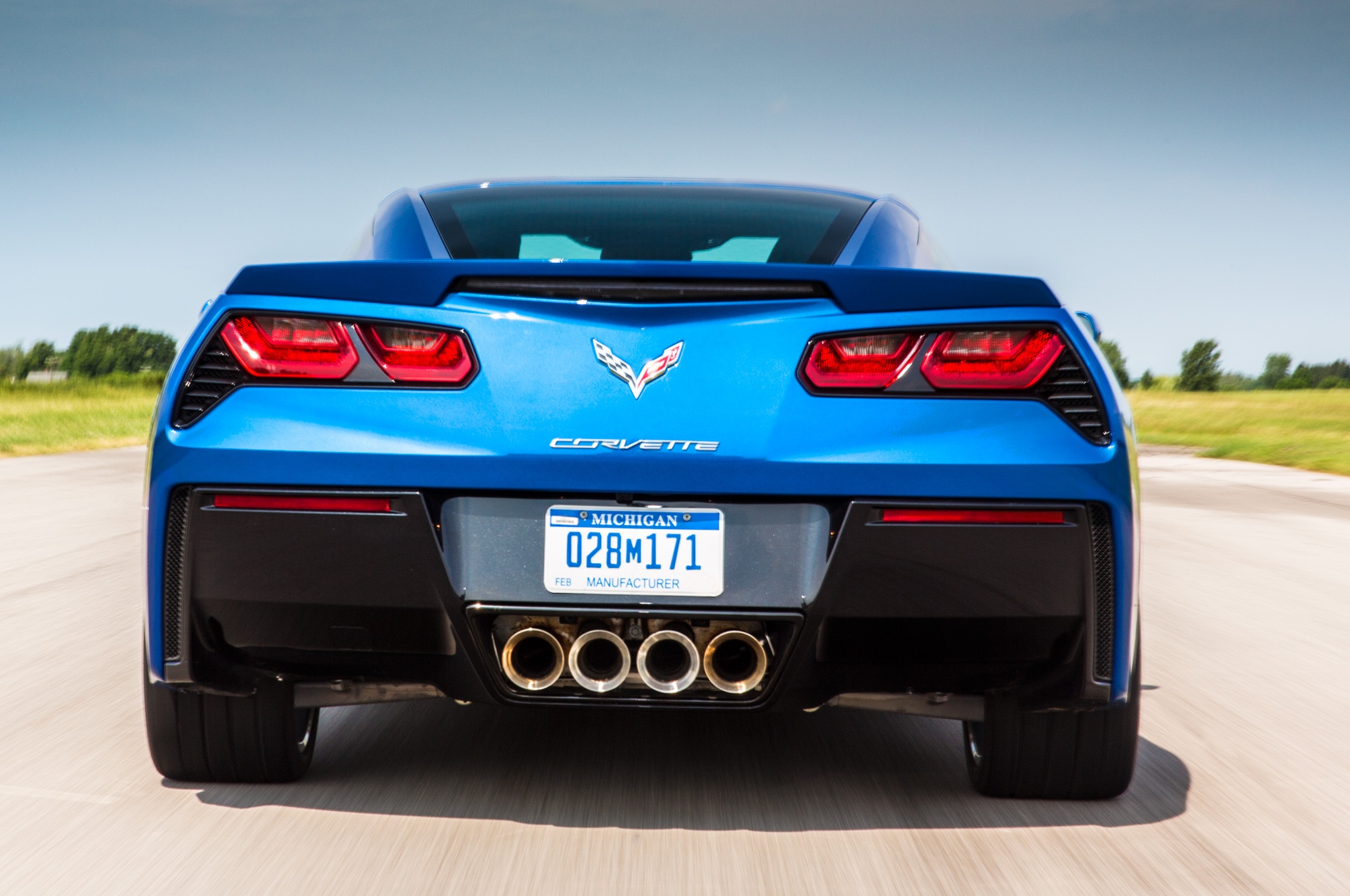
The Following Problem: The leader of the canyon drive is excited to get out on the roads and has 10+ cars behind them ready to do the same. The second car can barely keep up, and the third car is taking it slow, showering rocks onto the fourth car with its 200 tread-wear tires.
The Traffic Problem: The remaining six cars are falling behind, bored, or trying to reach the leader on a radio. As you approach a town for the lunch stop, half of you get stuck at a red light. Your group just caused its own delay.
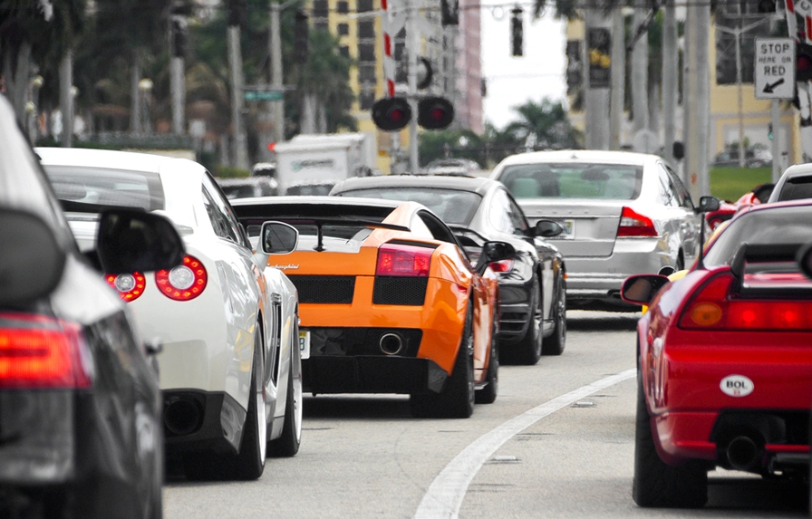
We know that 20-30 extra cars at the same intersection can cause havoc in a tiny rural town. If some of those cars are frustrated participants who are tired of 'driving slow...' and are now running behind - AND lost - this is not ideal for keeping a low profile.
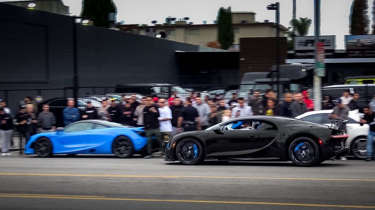
The Attention Problem: Along with grinding the local intersection to a halt, you all pull into the same restaurant, and suddenly every townsfolk is aware that 20 sports cars are blocking the road in front of their favorite eatery.
Rallyevous Events
No Following Solution: On a Rallyevous event, everyone has the location of the next checkpoint already. They are open to use any navigation app they'd like to get there. They have their own timer and interval that they need to arrive. They are encouraged to be "on-time" as the next checkpoint won't be revealed to them until they arrive at the correct location AND time. More specifically: the checkpoints are geo-locked; if you are not within a small radius of the location, you will not unlock the next destination.
No Traffic Solution: All participants are automatically spaced out by a few minutes. This dramatically effects the volume of participants through any single intersection, and participants are always allowed to ask for some more time. Should someone fall further behind, rendezvous points can be setup on the drive for everyone to catch back up. This also allows participants to skip sections following a break down.
Less Attention Solution: Because participants are spaced out AND they have the directions to use the access road to the back of the restaurant parking lot, we quietly file in for our lunch stop without the local constabulary being notified. All participants use a randomly generated ID. There are no accounts or logins.
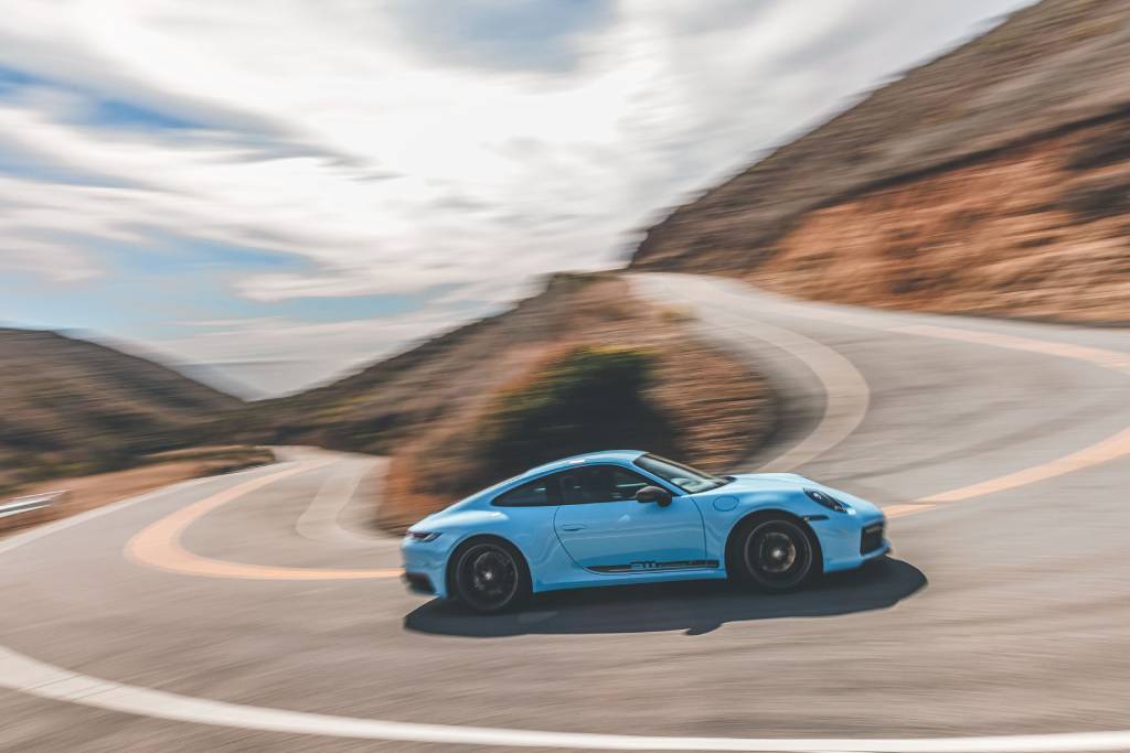
More Fun: When everyone does meet up for lunch or the end of the event, we all drove the same roads! We all saw that steep cliff, twisty hairpin, and beautiful photo spot. We only caught up with a couple people one time, and we only waited a few minutes for everyone to finish.
The days of paper maps, speed factors, and calculators are behind us. This required tools that took a special skill set to learn, and the events took hundreds of hours to layout. Let's be nostalgic for those days while we navigate our pocket supercomputers to our next exciting destination! A summer afternoon drive with friends; a weekend canyon tour; an all day road trip; a competitive timed event - all are possible with Rallyevous.